FireWhat uses GIS technology to map natural disasters, and track responders and assets in and out of the field. In June FireWhat merged with Geo-Spatial Solutions to become a premier geo-development shop in the Pacific Northwest. FireWhat CEO Sam Lanier breaks it down for BEND Magazine.
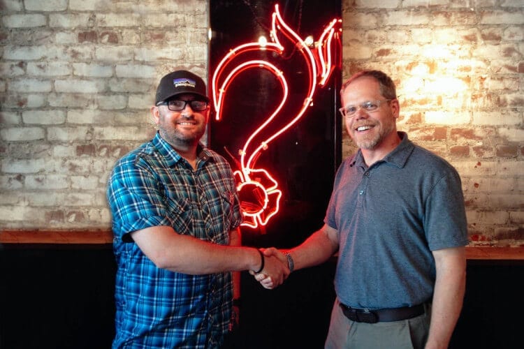
Photo Credit: FIREWHAT INC. | Sam Lanier, CEO (left) and Rusty Merritt, COO
How do people on the ground use your software?
Most everything we do is web-based, so at a fire command post, they’ll use laptops and mobile devices. Then to get the information from there, it just goes to the cloud and it’s digested on a smartphone. Rather than create the technologies, we use the technologies that already exist. Being able to track firefighters through the use of an iPhone happens on a daily basis, so why don’t we take that cell phone and make it a sensor?
Who uses your technology?
Primarily government agencies for wildfire management. We’re working on a big partnership with AccuWeather, and AccuWeather is using our information to disseminate to all of their industry clients.
What are you doing to advance your technology?
We’re working on UAV technology—Unmanned Aerial Vehicles. Rather than having satellite imagery that we collect once a day, we can actually have live imagery up over an incident to see where a fire is actually headed right now.
You recently merged with Geo-Spatial Solutions, what does that mean for FireWhat Inc.?
We’re a company with GIS as an emphasis, and management in wild- land fire administration. Geospatial Solutions is a geo-development company that focuses specifically on location-based analytics and understanding movements and patterns and analyzing geographic information on earth. Bringing the two together gives us an opportunity to grow as a company.
How are UAVs especially useful in wildland fire?
What we’re working on is high-level elevation UAVs that are completely out of the TFR (temporary flight restriction), so we would be in commercial airspace and then remaining in rotation over the incident with high- level censors. It really advances wildland firefighting because you have a constant live picture of what’s going on, and that can be broadcast down to the chiefs on the ground. If there’s a fire on this side of Bend that’s burned all through Bend, and the commanders are on the other side of Bend, they can’t see this side of Bend. Being able to broadcast that information down to the chiefs, they have that information in the palm of their hand, and then they can start making more tactical decisions to push resources over to this side, or they can notify the Sheriff’s department to bring resources or to help with emergency evacuations and start notifying schools. With UAVs you can start doing more pre-notification a lot sooner and quicker than ever before.
How many states does your technology operate in?
We purchased wildlandfire.com in 2013. It had been around since 1997, and it was built basically with a California- emphasis, so we’ve been working hard to get it out and about. Right now, we have a pretty good reach in the three Western states—California, Washington and Oregon—and through our relationship with ESRI (Environmental Systems Research Institute), we can tackle basically the entire nation. But because there are primarily only wildfires in nine Western states, that’s where our major focus of information is.
With all the information you’re able to gather, are you able to use it as reference for future fires?
For the Boles Fire in Weed (Calif.) last year, we’ve created a story map that just got an international award, and one of the slides in there is about historical fires dating back to 1911. It’s really interesting because you can see the wind patterns, and fires in that area since 1911 have burned in the exact same pattern. It’s kind of scary. This was the first one to burn right through town, but we were able to take that and analyze it. Forty-mile-per-hour winds have been very typical, just pushing the fire in the northeast direction dating back to 1911. It’s really neat being able to take that perimeter information and look at trends and why they burn in this fashion.
Do you have mobile apps?
We have the Wildland Fire Map that’s on the iPhone, and what the agencies are starting to use is an app called ArchGIS Collector. That’s a platform developed by ESRI that we use and deploy on incidents. We have a couple of different apps through the information side of things and the data collection side of things.

