april: Alder Springs
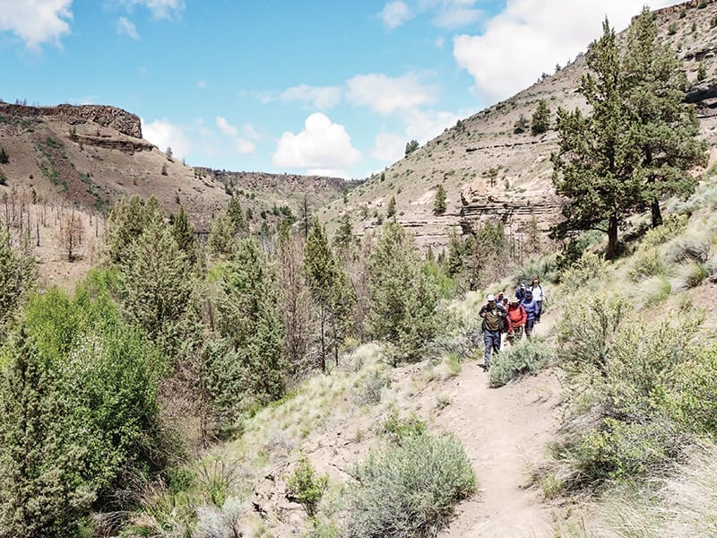
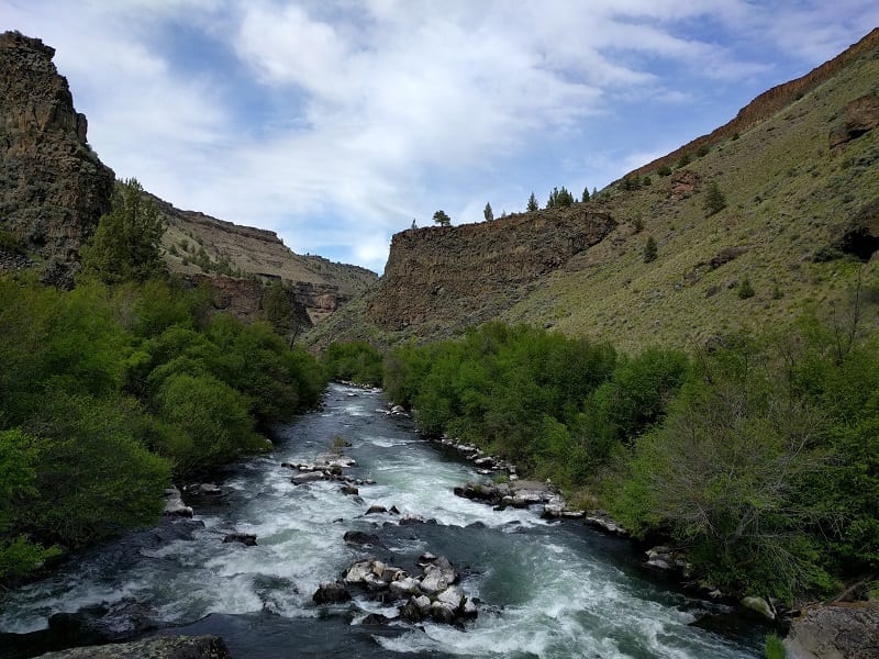
Geological wonders abound in the Whychus Creek Canyon. the history of the region is on display in the rocks that wall the trail. get there at the right time, and find a burst of colorful wildflowers scattered on the hills.
Hike 1 (Alder Springs lite): A three-mile, round-trip hike will take you down Whychus Creek with glimpses of burbling Alder Springs, stunning geologic features, mountain views and early sagebrush plateau wildflowers.
Hike 2 (Alder Springs full): After you hike down to Whychus Creek, ford the creek and continue on the trail to the creek’s confluence with the Deschutes River. This seven-mile, round-trip hike is a great way to see more of everything: canyon, creek, and the raging intersection of the tributary and river.
Tale of the Trail: Alder Springs was a privately owned ranch within the Crooked River National Grasslands until 1998. The Deschutes Land Trust worked with many partners to conserve Alder Springs and transfer it to public ownership. Today, Alder Springs is owned and managed by the Crooked River National Grasslands. Because of the diligent work of the Deschutes Land Trust and others, Alder Springs is one of the most treasured hiking locations in Central Oregon.
Opens: April 1, when the annual deer winter range closure lifts.
Location: Crooked River National Grasslands NE of Sisters via a fairly primitive road.
Note: Rattlesnakes are native to the area.
More details at deschuteslandtrust.org
may: Sutton Mountain’s Black Canyon
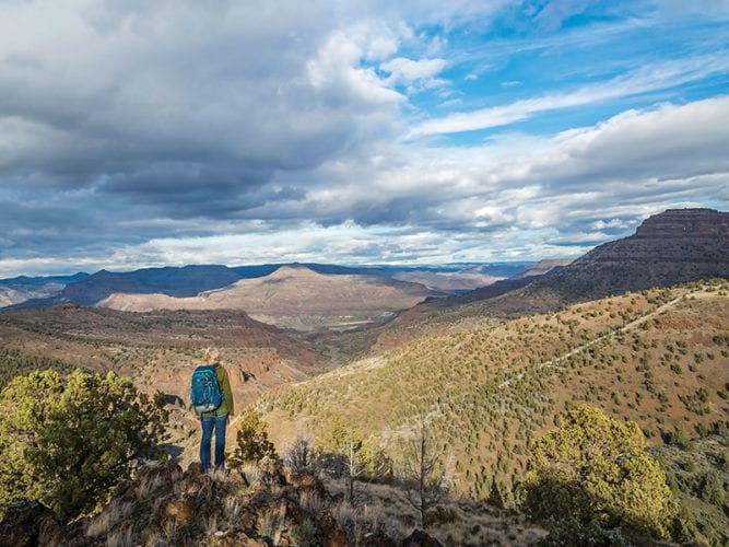
It’s hard to beat the John Day River Basin in all its spring glory. Colorful wildflowers—such as the hot-pink pop of hedgehog cactus blooms—punctuate the green that blankets the hillsides. Sutton Mountain’s Black Canyon offers an accessible yet adventurous way to experience the best of the region.
The Black Canyon Hike: Most hikes in the area ascend Sutton Mountain, which is a challenging classic. Black Canyon, however, offers a nice change of pace with its relatively flat bottom—perfect for a range of hiking abilities. Look for waterfalls, small offshoots from the main canyon and multiple access points to steep grassy hills that lead right to the summit. This out-and-back adventure is about five miles.
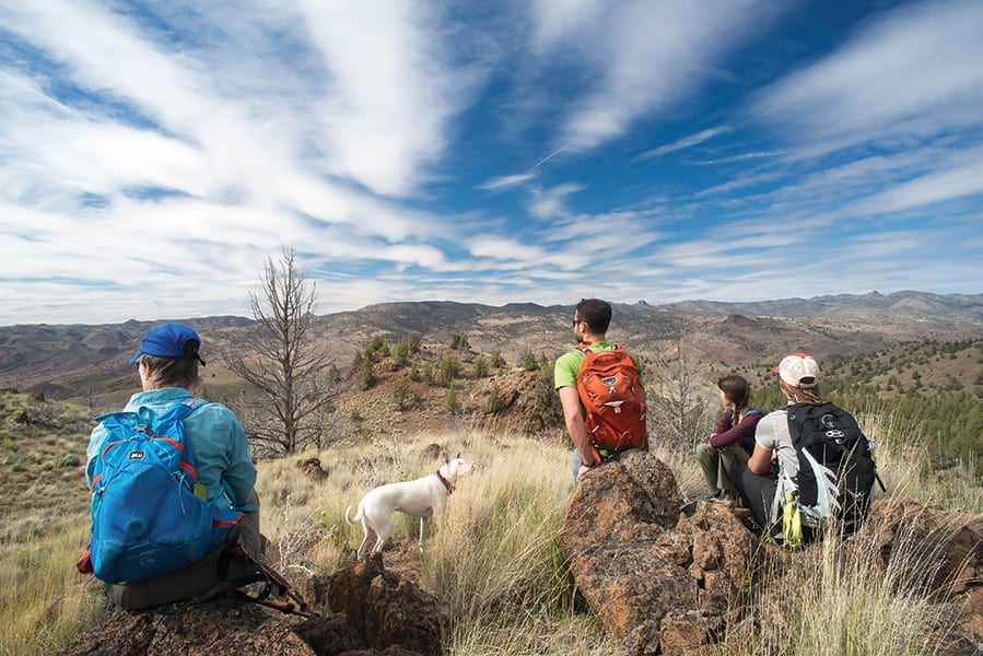
Tale of the Trail: In 2015, Sen. Jeff Merkley introduced the Sutton Mountain and Painted Hills Preservation and Economic Enhancement Act.It would protect Black Canyon and surrounding Sutton Mountain as wilderness, conserving its wildlife habitat and creating a tourism draw for the region. Black Canyon is renowned for plants found nowhere else in the world, fascinating geology and ample wildlife.
Location: Two hours northeast of Bend in Wheeler County, with some services available in the nearby town of Mitchell.
More: Check out the Oregon Natural Desert Association’s John Day Visitors Guide at onda.org, for information on getting there, and where to stay and eat.
may: whychus canyon Preserve
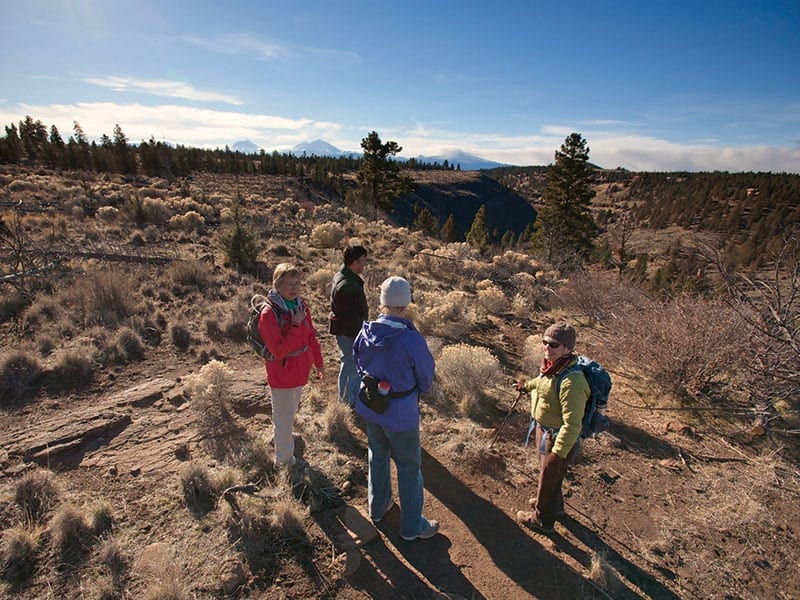
Come May, when spring is in full bloom, head to Whychus Canyon Preserve for a hike full of scenic vistas, wildflowers, local history and creek views.
Hike 1 (Creek hike): Whychus Canyon Preserve is owned and managed by the Deschutes Land Trust and provides more than seven miles of hiking and walking trails. For a longer hike, head from the trailhead toward the canyon rim and follow trails down to Whychus Creek. Enjoy the cheerful, large, yellow blooms of balsamroot, the bright purple blooms of lupine, and the brief blush of green the desert takes on during this fleeting time of year. Eat a picnic lunch at a boulder-laden scenic overlook with views of the Cascades and soaring raptors.
Hike 2 (History hike): The historic Santiam Wagon Road crosses Whychus Canyon Preserve, providing a glimpse into one of the main paths of commerce and settlement for Central Oregon. Walk the Wagon Road and enjoy a series of interpretive signs that tell the story of its creation and use.
Tale of the Trail: The Deschutes Land Trust partnered with the local community in 2010 and again in 2014 to purchase and protect Whychus Canyon Preserve. Today, the Land Trust manages the preserve’s 930 acres, which are home to a host of wildlife species, four miles of Whychus Creek, the historic Santiam Wagon Road, and juniper and pine woodland.
Open: During daylight hours, year-round with limited access during the winter months due to snow.
Location: Between Sisters and Redmond, off Goodrich Road.
More: Details at deschuteslandtrust.org
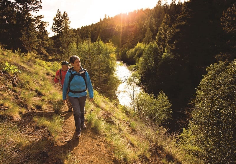

Photo by John Williams (left) | Jay Mather (right)
june: metolius preserve
In June, as the sagebrush desert begins to bake, head to the Metolius Preserve for a forested, spring hike with an entirely different color palette.
Hike 1 (Lake Creek Trail): The Metolius Preserve is owned and managed by the Deschutes Land Trust and provides more than ten miles of hiking and biking trails. The Preserve is a pine and mixed conifer forest with three sections of Lake Creek passing through it. In spring, wildflowers such as native columbine, lilies and rose abound. It’s also a great time to soak in the incredible soft, neon, spring-green needles of the Western larch. This tree is Oregon’s only deciduous conifer and its new needles seem to scream, “Spring!”
Hike 2 (Suttle Lake Trail): For a longer hike, walk the Lake Creek Trail from the Land Trust’s North Trail head to nearby Suttle Lake. The trail crosses from Land Trust property to National Forest land and follows Lake Creek through pine and conifer forest. Once you reach Suttle Lake, dip your toes in the water, then return as you came.
Tale of the Trail: The Deschutes Land Trust acquired and protected the 1,240 acre Metolius Preserve in 2003. Today, the Land Trust manages the preserve, which is home to a host of wildlife species and a several-miles-long stretch of Lake Creek, and has some of the most diverse plant communities in the region.
Open: During daylight hours, year-round with limited access during the winter months due to snow.
Location: Near Camp Sherman.
More: Details at deschuteslandtrust.org

