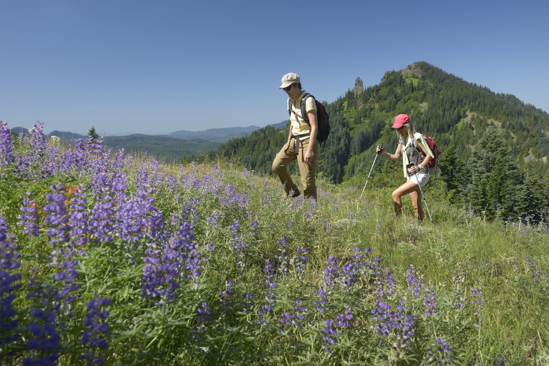
Where to hike in the spring in Central Oregon when the mountains are still snowed in.
Some of the best hiking in Central Oregon can be found in the spring. The wildflowers are popping up, the weather isn’t too warm yet and the summer crowds haven’t yet rolled in. Here are five hikes from around the region for all ages and abilities. They each lead to some stellar views of the region.
Hager Mountain
This is one of the least trafficked hikes close to Central Oregon in the Fremont-Winema National Forest, and there are a few options to make it a short two-mile hike, or extend it for a six- or eight-mile hike. At the peak, where it’s possible to see as far south as Mt. Shasta on a clear day, there’s an active forest service fire lookout that is staffed in the summer. This is a hidden gem to spot wildflowers in the spring. The hike has some steep elements to it as you trek through the Ponderosa forest until you reach the clearing at the summit.
Distance: 2 miles out and back
Hiking level: Moderate
Parking: Free at the Hagar Mountain Trailhead
Open: June-November
Iron Mountain Trail
The wildflowers won’t pop up here until July, but that just means that there will be less people on the trail when it opens up in June. There are a few trails from the Iron Mountain Trailhead. The Iron Mountain Trail is a little over one mile to the peak, but it is a scramble up switchbacks to get there. There’s a viewpoint where you can spot Mount Adams, Mount Hood and Mount Jefferson. The trail is west of Sisters off Highway 20 and about ten minutes past the Highway 26 intersection.
Distance: 3 miles out and back
Hiking level: Moderate
Parking: $5 or NW Forest Pass at the trailhead
Open: June
Marion Lake Trail
In the Mt. Jefferson Wilderness area, the Marion Lake Trail is a great option for a moderate-level hike in the spring, with less traffic than it normally gets in the summer. The hike is the access point for a few lesser-known waterfalls in the region. Marion and Gatch Falls are just off the trail, while Gooch Falls is just off the road on the drive there. You’ll also pass Lake Ann along the way.
Distance: 5.2 mile loop
Hiking level: Moderate
Parking: $5 at the trailhead, or NW Forest Pass, and fill out a permit to enter
Open: Year-round, but there may be some snow still past Lake Ann in early spring.
Gray Butte Loop Trail
Popular with mountain bikers and horseback riders, the Gray Butte Trail in the Ochoco National Forest and Crooked River Grasslands leads to some stellar views of the region at a little more than 5,000 feet in elevation. The trail is maintained by the Ochoco National Forest and the Central Oregon Trail Alliance, and they both caution that hikers and mountain bikers can do a lot of damage to the trails if it is too muddy. If you run into a lot of mud on the trail, it’s best to turn around. There are few other loops and trails in the area that lead to Smith Rock State Park. It’s labeled as “difficult” because of the steep terrain and loose rocks.
Distance: 4.5-mile loop
Hiking level: Difficult
Parking: Free at Gray Butte Trailhead
Open: Year-round
Sand Mountain Lookout Trail
In the Deschutes National Forest, the Sand Mountain Lookout Trail is an easy two-mile hike that leads to a view of the Cascade Range as well as some of the region’s large alpine lakes. There’s a forest service lookout at the top of the trail that is staffed by volunteers. The region is a “geologic special interest area” for the forest service, with a one-of-a-kind cinder cone formation that you can see from the summit. This is a family-friendly hike that would be better to try in the spring before the weather gets too hot.
Distance: 4 miles round trip
Hiking level: Easy
Parking: Sand Mountain Lookout Trailhead
Open: Spring-fall


