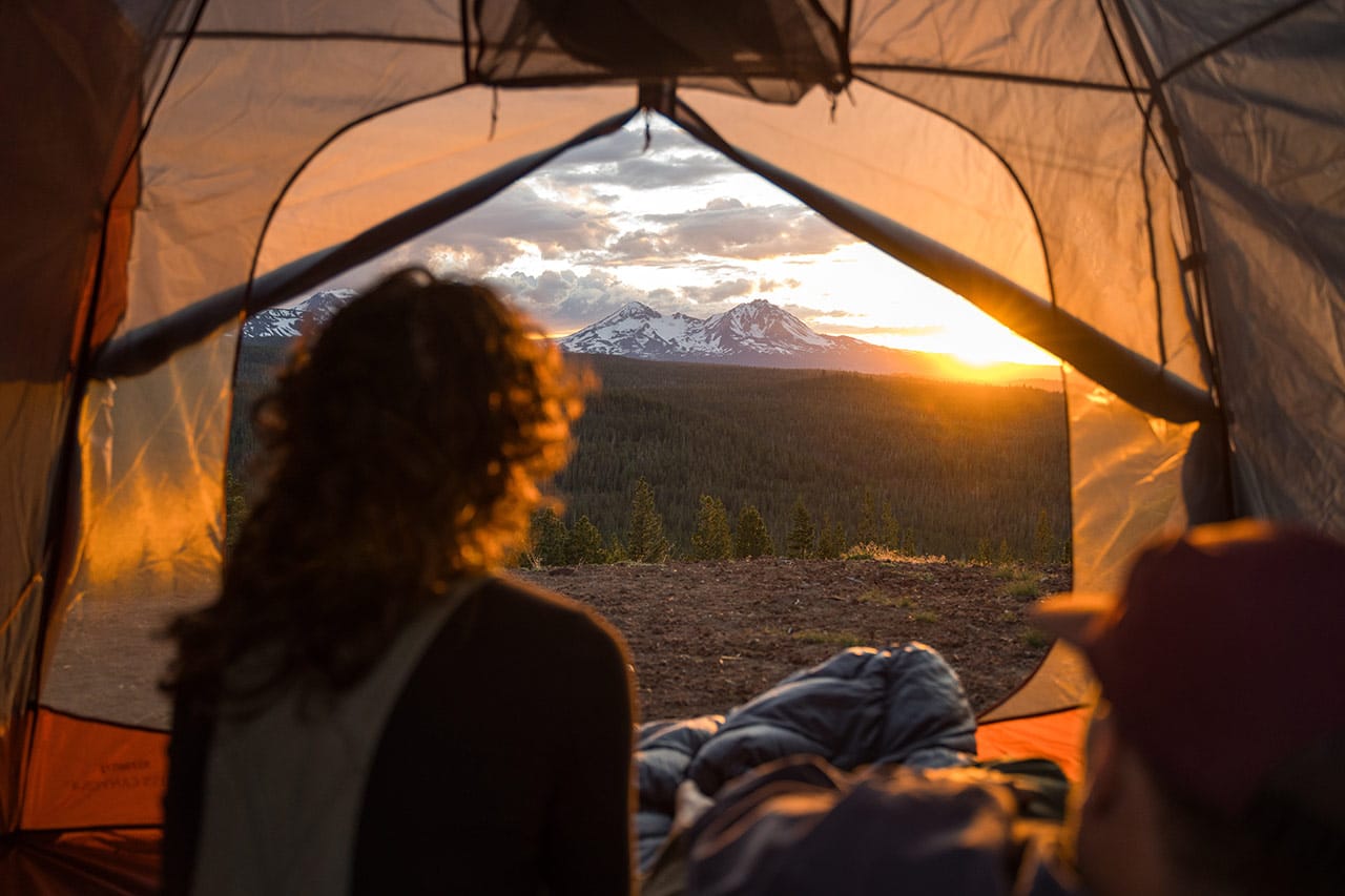
At five years old, the 750-mile Oregon Desert Trail can be enjoyed as a feast or series of bite-sized outback adventures.
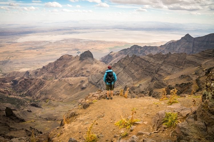
When Robin Sullivan talks about her hike on the Oregon Desert Trail last summer, the enthusiasm on her face belies the words. “I had a painful blister on my foot, I’d spilled my water, and I had to backtrack up a ridge after going the wrong way,” she said and laughs, jumping up to demonstrate climbing over the boulders.
She’d covered more than fifty miles, backpacking with a friend, but cut the trip short, because “stuff happens.” Despite the mishaps, she’s already planning routes for this year. What is it about the Oregon Desert Trail that draws her back?
“Maybe it’s the solitude, or the incredible stars, or the physical challenge…the desert is full of surprises.”
From the Badlands to the Canyons
The Oregon Desert Trail is a relative newcomer to the list of North American through-hiking trails, which includes iconic routes such as the Appalachian Trail and the Pacific Crest Trail. It’s the first long-distance hike created by a conservation organization, designed to introduce the beauty of Oregon’s desert to a broader audience and to nurture appreciation for public lands.
The Oregon Natural Desert Association, or ONDA, began mapping the route in 2011. They pieced together existing trails, old wagon roads and routes across public lands. By 2014, they’d connected 750 miles, beginning in the Badlands outside of Bend. The route wanders south along the Fremont National Forest, then arcs east through Hart Mountain and into Steens Mountain. Looping around to the Owyhee Canyonlands, it terminates at the Owyhee State Campground.
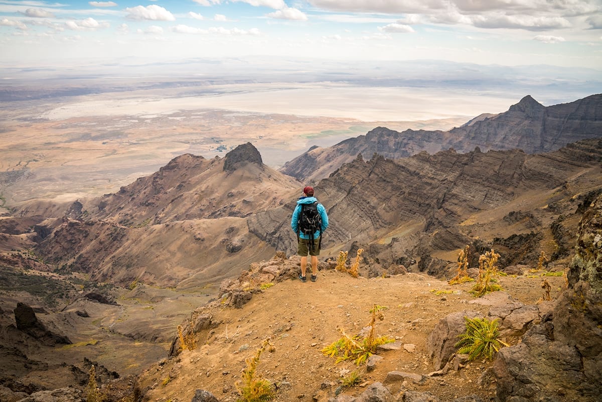
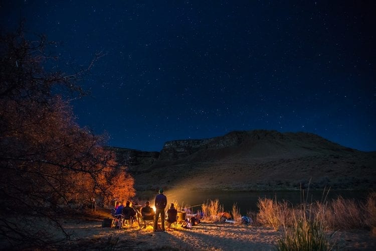
This year marks the fifth anniversary of the Oregon Desert Trail. To date, only twenty-six hikers have through-hiked the entire 750 miles, a feat that requires intense planning and support. Many more hikers are like Robin Sullivan, targeting different regions on shorter hikes. There’s so much to experience, after all: sagebrush plateaus and ancient gorge rims, hidden petroglyphs and hot springs and the darkest starry nights in North America.
“Immersion in the desert landscape is addicting,” said Renee Patrick, ONDA’s desert trail coordinator and a through-hiker herself. Patrick wants to make hiking the ODT possible for every hiker. Since the ODT has launched, she’s been developing a trail guide complete with digital tools to help more people access the desert and prepare for the challenges of the trail.
“The trail guide is meant to remove barriers to hiking,” said Patrick. “We want everyone to have the opportunity to fall in love with the desert.” (The trail guide, maps and interactive spreadsheets are all free to download from onda.org)
Digital Tools for an Unplugged Experience
Even a day hike in the desert requires preparation. Packing ample drinking water is critical, as water sources vary greatly throughout the hiking season. ONDA’s water guidelines provide low-tech advice, like how to cache water along your route, and there are high-tech tools too: an interactive spreadsheet lists GPS waypoints for water sources. Hikers update water levels in real time and check the status of what lies ahead.
Water is the first concern, but navigation skills run a close second, especially because most of the trail is unmarked.
“The ODT is not a distinct line on the map, like the PCT,” explained Patrick. “The trail often goes cross-country, where you can’t just follow the path. You have to engage with the landscape.” The lack of signage makes for a more natural experience, but it requires old-school paper maps and compass navigation, as well as digital maps with GPS waypoints.
Patrick encourages hikers to download and study the map PDFs. The terrain is rated like a ski run, from easy greens to black diamonds. Each trail is detailed with fence and gate locations, trailheads, road access points and topographic lines. Mountain bikers and horsepackers will find helpful information to avoid conflict between users along the trail.
Finding Solitude and Community in the Desert
Many hikers, like Sullivan, enjoy the solitude of the open desert. But the small communities dotted along the trail are worth exploring before or after a day on the trail. Save some time for towns like Summer Lake, where the hot springs revive trail-weary muscles, or Paisley, where the Mercantile and Pioneer Saloon welcome hikers. Many towns keep registries for hikers to share information, and local trail angels often support hikers along the way.
For the solitary days along the trail, Sullivan offers some advice: “First, pack extra socks! They’re critical to avoid blisters. Second, keep an open mind, like an artist looking for a new palette, and you’ll find beauty everywhere.”

