photo Christian Murillo
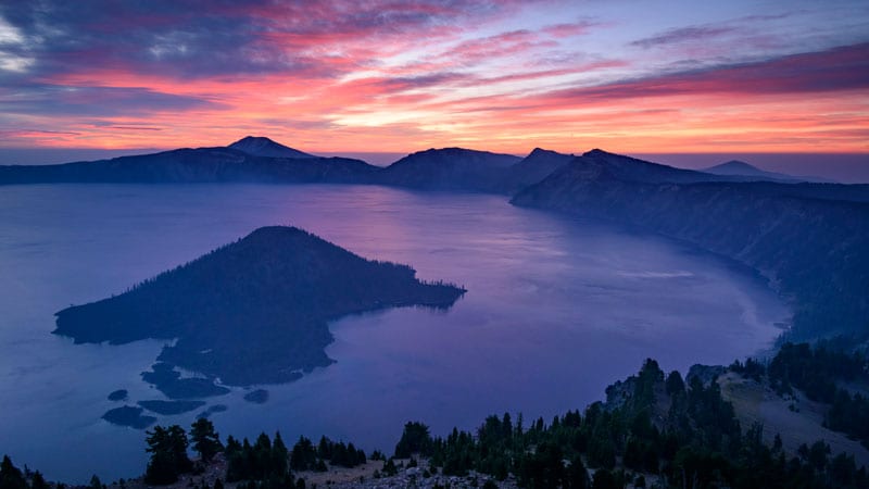
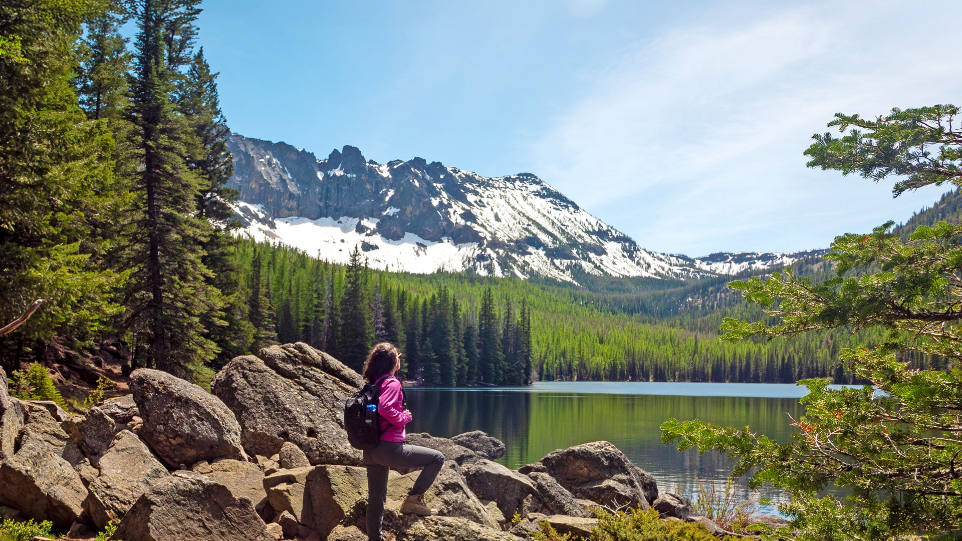
Oregon’s spectacular Crater Lake National Park has a short summer window during which time visitors may drive the park’s thirty-three-mile-long Rim Drive and gaze into the surreal blue of the nation’s deepest lake. While the majority of park visitors enjoy only the overlooks and viewpoints along Rim Drive, trail lovers will find much to rejoice here. Numerous trails lead to dramatic views, unique geologic features, or meadows bursting with wildflowers.
With a winter snowfall of more than forty-four feet, summer is the short season here, and snow remains in the high country for a long time. Day hikers may obtain current information about trail conditions at the visitor center or online through the park’s website (nps.gov/crla). Here are a few of our favorite hikes—plus one cycling route and some lodging ideas as a bonus.
Trails Aplenty
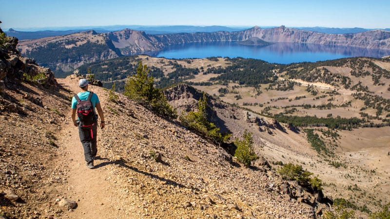
Mount Scott
5 miles round-trip, 1,250-feet elevation gain
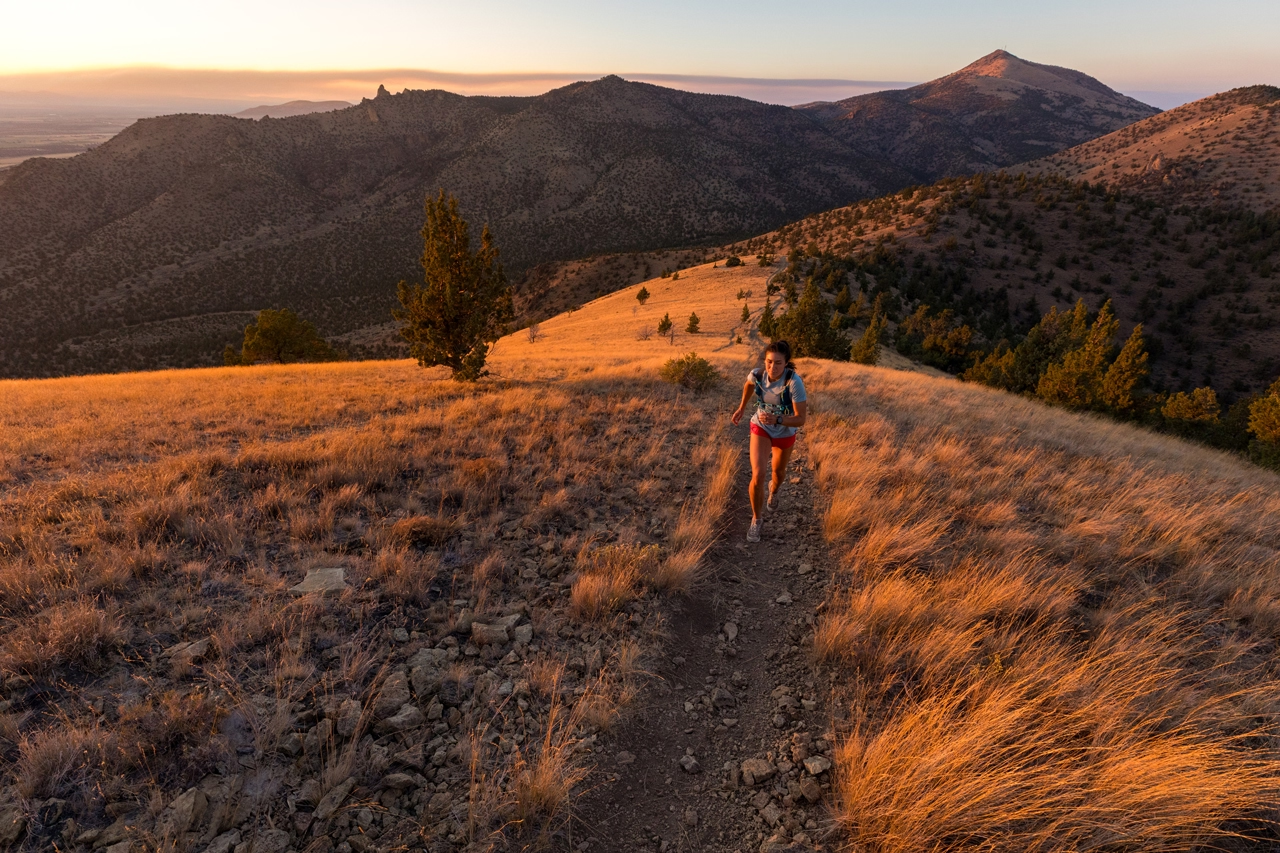
The highest point in the park at 8,938 feet, Mount Scott, named for Oregon pioneer Levi Scott, is a 420,000-year-old volcano that once stood along the lower flank of Mount Mazama. Far enough away when the volcano erupted, Mount Scott survived the cataclysmic eruption that occurred some 7,700 years ago. One of the classic hikes in the park, it’s rated difficult primarily due to its elevation gain and height. The trail switchbacks across pumice fields and through coniferous forests before gaining the ridge, then traverses past patches of Western anemone (affectionately called Hippy-on-a-Stick due to the “hairy” seed heads) to the summit’s fire lookout. The views of the lake and surrounding mountains, from Mount Shasta to the Three Sisters, reward the effort.
Discovery Point
2.2 miles round trip, 100-feet elevation gain
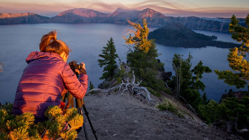
From Rim Village, the epicenter of park activities on the caldera’s lip, a trail strikes west along the rim to Discovery Point offering outstanding views of the lake and the volcano within a volcano, Wizard Island, at various points. A second volcano within the caldera named Merriam Cone, which also erupted post-Mazama event, lies beneath the quiet waters of the lake.
The Watchman
1.6 miles round trip and 415-feet elevation gain
Hikers can either continue from Discovery Point to the Watchman, a volcanic outcrop that sits high on the caldera’s western rim, or drive to the trailhead for a shorter hike. The Watchman is a block of 50,000-year-old
volcanic rock with a 1930s-era fire lookout on the summit and fantastic sunset views. Please don’t feed the raucous Clark’s nutcrackers that might show up—these seed-caching machines are intricately tied to the survival of the whitebark pine and don’t need a handout.
Castle Crest Wildflower Trail
0.4 miles round trip
This forest trail crosses over spring-fed wildflower meadows that erupt with color during the summer. Lupine, monkey flower, bog orchid, paintbrush, shooting stars, elephant head, and bleeding hearts are just some of the many species that bloom along this trail.
The Pinnacles
1 mile round trip, 50-feet elevation gain
From the Pinnacles Overlook, a trail follows the rim of Wheeler Creek past ash-laden spires. These pinnacles are the result of fiery-hot ash and rock fragments that flowed like an avalanche down the mountain’s flanks during the eruption. Known as pyroclastic flows, these fast-moving flows obliterated all life in their path. When the ash settled, gases escaping through vents welded the debris into pillars or “fumarole chimneys” which erosion has exposed.
Cleetwood Cove
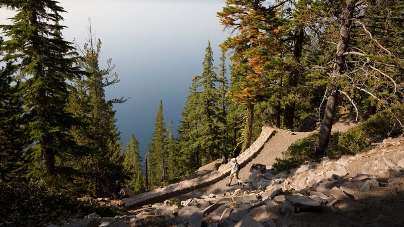
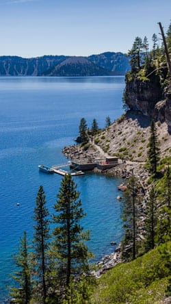
1.1 mile, 700-feet elevation loss
During normal, non-pandemic times, the Cleetwood Cove trail is the way to access the docks to embark on a scenic boat tour of Crater Lake. Unfortunately, boat tours (along with trolley tours) have been cancelled for the 2021 season. Visitors can still descend from the rim to reach the lake for a unique vantage point of the caldera and the 1,943-foot-deep-lake. The lake’s depth and excellent water quality enhance the light-absorbing qualities of the water, resulting in the oh-so-blue color.
A Spectacular Bike Route
An alternate way to explore Crater Lake is by cycling the Rim Drive during the Ride the Rim event, scheduled for two Saturdays in 2021: September 11 and September 18. The Park closes the East Rim Drive, a twenty-four mile segment, to vehicles so that cyclists, walkers, and runners may experience the park vehicle free. Visit ridetherimoregon.com for more information and to register.
Getting There
Crater Lake is located north of Klamath Falls and east of Union Creek. Access to the park is via the North Entrance (Highway 138) or the South Entrance (Highway 62) in the summer (the North Entrance is closed in winter). Entrance fees for private vehicles are $30 for a seven-day pass or $15 per individual for hikers or cyclists. An annual park entrance pass, good for all national parks, is $80—a good investment if one plans to visit various parks or monuments.
Places to Stay
For overnight stays, the park has two developed campgrounds, renovated cabins in the Mazama Village, and one of the most spectacular lodges in the National Park Service system, Crater Lake Lodge. Originally built in the early 1900s and renovated in the 1990s, staying overnight in this gem requires advanced booking or getting a lucky open date. Other nearby accommodations in the Union Creek, Fort Klamath, Chiloquin, and Klamath Falls areas include numerous nightly vacation rentals, motels, hotels and the premier Running Y Resort along Upper Klamath Lake.

