Segments for all Seasons on the Deschutes River Trail
The Deschutes River Trail (DRT) connects people to nature, history, neighborhoods and businesses as it courses through the heart of Bend. Locals know the 12-mile-long “river trail” offers opportunities to get outside and get in a walk, run, dog walk, bike ride, and, when the conditions are right, a cross-country ski. While an additional section of the DRT goes all the way from the Good Dog Park to Sunriver, passing Benham Falls and the Big Eddy rapids, there are five segments especially attainable from downtown Bend.
Bend Park and Recreation manages the section of the trail closest to Bend and breaks it into five reaches: South Canyon, Old Mill, Pioneer, River Run, and Awbrey. Remember: trail etiquette is to stay right and be alert for the call, “On your left!”
South Canyon Reach
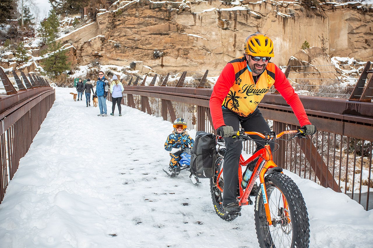
Access for this loop begins by heading south from Farewell Bend Park, named for John Todd, who purchased the Farewell Bend Ranch in 1877 for $60 and two saddle horses. This stretch has the most “natural” feel of the entire DRT, as ponderosa pines and riparian thickets line the trail. Occasional breaks provide nice views of the river as it cascades over rapids or slips around boulders.
After crossing the South Canyon Bridge, the west side trail connects to the Haul Road Trail, historically used to haul logs to a point where they were off-loaded into the river and floated to the mills. A newly constructed landing downstream of the bridge provides access to the river and has interpretive panels honoring the Native Americans who inhabited this region for thousands of years.
Distance: 3 miles round trip
Hiking Time: 1.5 hours
Seasonal access: Year-round, but prepare for ice and snow in the winter.
Old Mill Reach
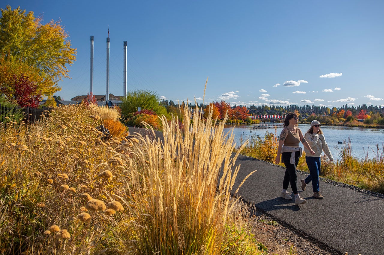
This popular urban stretch of the river trail is a contrast in time. Walk north from the spot of the original settlement at Farewell Bend Park to see the area that at one time launched the heyday of the logging industry, when two mills produced millions of board feet of lumber. Today, that spot is known as the Old Mill District, a vibrant hub of shops, restaurants, galleries and more.
Primary access is from Farewell Bend, Riverbend, and McKay Parks. The level, paved trail consists of two loops: Mill A Loop (1.5 miles) and Logger Loop (1.3 miles). The Old Mill Flag Footbridge, the halfway point, is a prime spot to watch paddlers during the annual Holiday Lights Paddle Parade. In winter, numerous waterfowl line the river.
Distance: 2.7 miles round trip
Hiking time: 1-2 hours
Seasonal access: A paved path is cleared year-round.
Pioneer Reach
Bend’s early history links McKay Park (honoring pioneer Bendites Olive and Clyde McKay and their sons) to Pioneer Park on this section of the DRT as it passes through neighborhoods and Drake Park.
At McKay Park, enjoy the view from atop the footbridge of Whitewater Park where intrepid kayakers don drysuits and play in the waves in all seasons. The bridge connects to another historic ranch site at Miller’s Landing. Continuing past the landing, the trail follows the sidewalk along NW Riverfront Street through a section of “Old Bend” before reaching Drake Park, named for early 1900s developer Alexander Drake and his wife Florence.
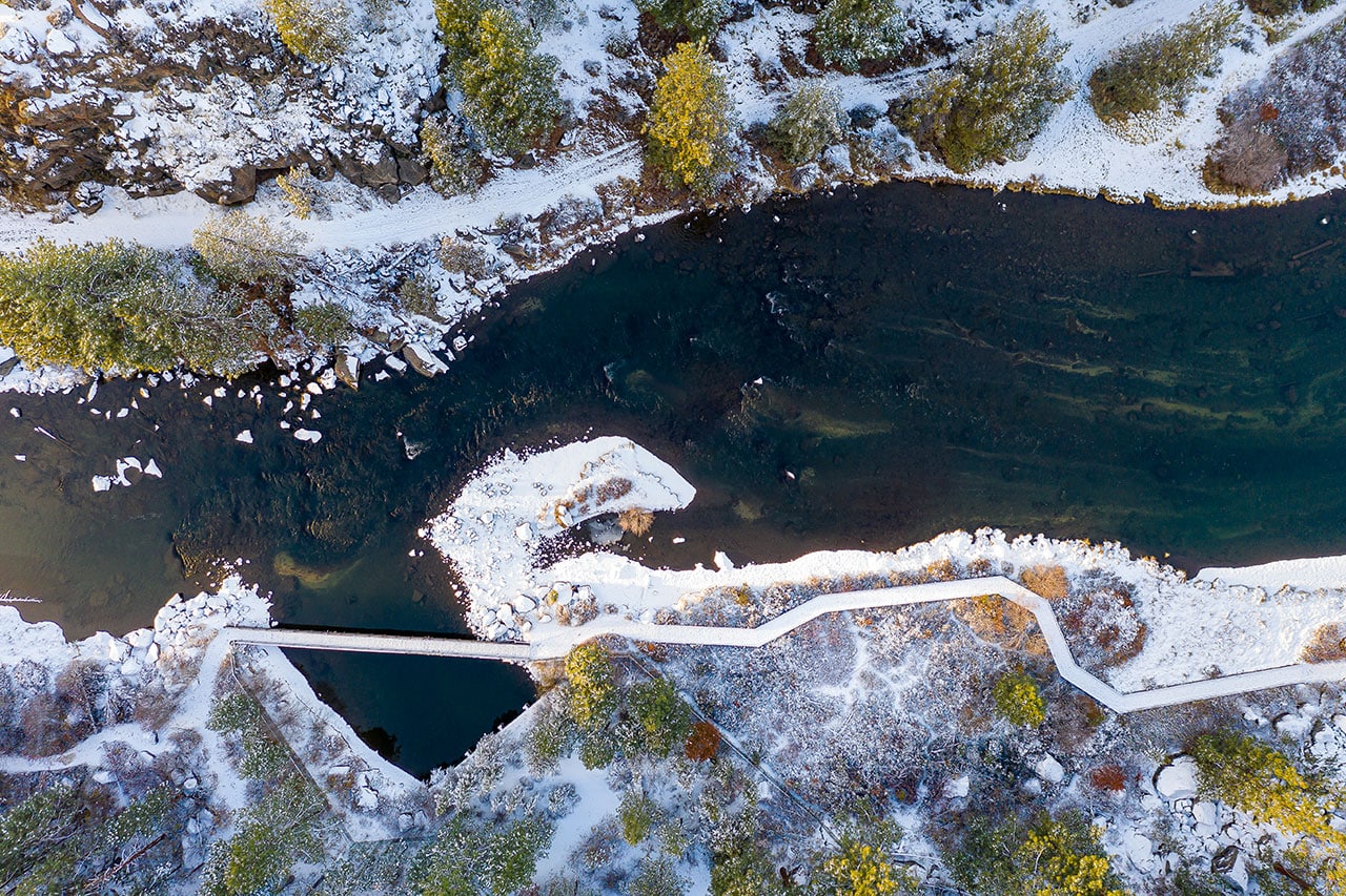
The paved trail continues alongside the calm waters of Mirror Pond, shadowed by towering Douglas fir and ponderosa pines. On the eastern shore of the river, the trail joins a newly constructed boardwalk that arcs along the river to the lower end of Mirror Pond, with access points to divert to downtown Bend before the trail reaches Pioneer Park.
Length: 1.7 miles one-way
Hiking time: 1-2 hours
Seasonal access: Accessible, moving from paved pathways to sidewalks.
River Run Reach
This stretch of the trail connects Pioneer Park to Sawyer Park, with another access point at First Street Rapids Park. From Pioneer Park, the trail follows the river downstream, past towering willows and pine trees, and encounters the Tumalo Irrigation Company’s diversion dam and fish ladder before crossing the footbridge over the river to First Street Rapids Park.
On the west side of the river, the level dirt trail passes lush riparian vegetation that lines the river and drier slopes with juniper, wax currants, sagebrush, and bunchgrasses. This quiet stretch of trail is a good spot in winter to birdwatch or to scout for wildlife tracks. Eventually, the trail crosses Mount Washington Drive and slips past the River’s Edge Golf Course to Sawyer Park.
Trail length: 1.7 miles one-way
Hiking Time: 1-2 hours
Seasonal access: Year-round, but it can be icy or muddy during the winter.
Awbrey Reach
The Awbrey Reach is a quiet out-and-back stretch from the Robert W. Sawyer Park, named for an early Bendite who moved here in 1912 and eventually became the long-time editor of the Bend Bulletin.
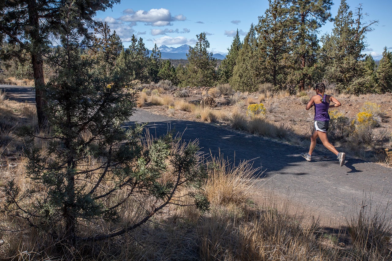
This section of the DRT utilizes the buried water pipeline right-of-way owned by the Tumalo Canal Irrigation Company. The wide trail of crushed gravel follows a somewhat level contour around Awbrey Butte to its end, where views of Black Butte, Mount Jefferson, and Middle and North Sister await. When snowfall is sufficient, this section of the trail is perfect for cross-country skiers. Beyond the intersection of the Archie Briggs Canyon Natural Area to Mount Washington, there is a stunning view of the river as it makes a sweeping bend in the canyon far below. A well-placed bench is accompanied by a plaque that reads, “How perfect is this.” Perfect indeed.
Trail length: 3.9. miles round trip
Hiking time: 2-3 hours
Seasonal access: Year-round with wide trails for cross-country skiing when snow permits.


