The words of John Muir—“The mountains are calling and I must go”—echo with every footfall and inspire the goal of reaching a mountain summit. Fortunately, Central Oregon offers numerous opportunities to bag a peak. It takes some effort and energy, but training on the smaller peaks will pay dividends on the taller ones.
So, get inspired to perspire on this quartet of hikes and gear up to undertake the ultimate Central Oregon ascent—South Sister.

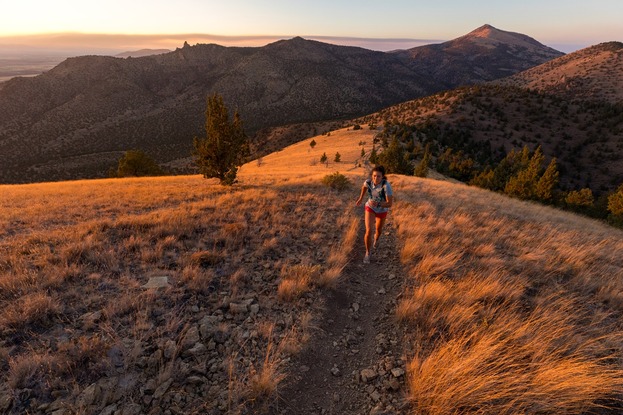
Pilot Butte: The Warm-Up
A volcanic cone rising to 4,142 feet, Pilot Butte is a notable landmark on the Central Oregon skyline. The name’s origin comes from wagon trains using the prominent peak to guide or “pilot” emigrant’s wagons to and from the crossing on the Deschutes River. It also makes Bend one of six municipalities in the United States with a volcano in its city limits.
From the trailhead parking, a dirt trail spirals up and around this ancient cinder cone past gnarled junipers and fragrant sagebrush. The trail gains about 500 feet in elevation, but offers an excellent training trail to get legs ready for steeper climbs. The mountain finder at the summit’s Summer Plaza provides identification to a tantalizing array of surrounding peaks. This is a great warm-up hike that can be done, up and down, multiple times and can be combined with the 1.7-mile hike around the butte’s base to increase mileage.
Trail distance: 1.8 mile round trip; 3.5 miles with base trail.
Elevation gain: 500 feet.
Difficulty: Easy
Tumalo Mountain: The Training Peak
Located 21 miles west of Bend along the Cascade Lakes Highway, Tumalo Mountain is a popular hike that starts at the Dutchman Flat Sno-Park. The trail begins and passes through a forest of hemlocks, pine and fir, and does not stop climbing until reaching the summit.
Beyond the start of the trailhead, several switchbacks provide some relief from an uphill grind. Soon the trail begins to wind through mountain meadows with late vestiges of wildflowers such as lupine, Newberry knotweed and catspaw. The stunted or “krummholz” trees have been shaped by the fierce winter conditions that hammer this peak.
On the broad 7,755-foot summit that historically housed a Forest Service fire lookout, the trees thin out to reveal exceptional views of Mount Bachelor, especially the glacial cirque carved into the mountain’s northeast slope and the string of scattered cinder cones associated with its eruption. A clear day reveals Mount Thielsen, the “Lightning Rod of the Cascades,” to the south. Continue the hike to the summit’s north end for well-earned views of South Sister, Middle Sister, Broken Top and the surrounding region.
Trail length: 4.0 miles round trip
Elevation gain: 1,425 feet
Difficulty: Moderate

Mount Bachelor: The Workout Peak
Mount Bachelor is the 15th highest peak in Oregon with a summit at 9,065 feet. Though the ski resort’s chairlift operates in summer, hikers can bag this overlooked peak via a well-marked trail that starts at the resort’s West Village Lodge (note: download the trail map from the resort’s website).
The trail skirts across the mountain’s base through a forest of old-growth mountain hemlocks, home to pine martens and the elusive Sierra Nevada red fox.
Geologically, Mount Bachelor is the youngest prominent stratovolcano in the Three Sisters area, formed between 18,000 and 8,000 years ago.
Eventually, the trail leaves the forest and begins an exposed, steady climb up the volcano, passing over and around volcanic rock and loose soil above the timberline, so remember to pause before looking up!
Once on the summit, the 360° views of lakes and peaks in the Cascade Range are incredible.
Trail length: 7.1 miles round trip
Elevation gain: 2,750 feet
Difficulty: Moderate to difficult

South Sister: The Ultimate Ascent
The tallest of the Three Sisters and third highest peak in Oregon (10,358 feet), bagging this massive volcano is a real challenge but well worth the effort.
The South Sisters Climber Trail starts out at Devils Lake, a turquoise-colored shallow body of water along the Cascade Lakes Highway.
The trail starts as a steady uphill through a dense hemlock forest, giving way to a sandy, open plain composed of volcanic ash and pumice. After this section, the trail climbs in earnest and encounters sections with loose cinders and pumice, so careful footing is advised. Plus, multiple trails near the top make it challenging to navigate; pick the “trail most traveled” and aim for the top.
From the peak, hikers are rewarded with exceptional views of the other Sisters, Mount Jefferson and Mount Hood. The summit crater is filled with crystal-blue water—the highest lake in Oregon, called Teardrop Pool. High fives all around to those who reach the summit.
Trail length: 12 miles round trip
Elevation gain: 4,986 feet
Difficulty: Difficult
Read more ADVENTURE or HIKING articles with us.