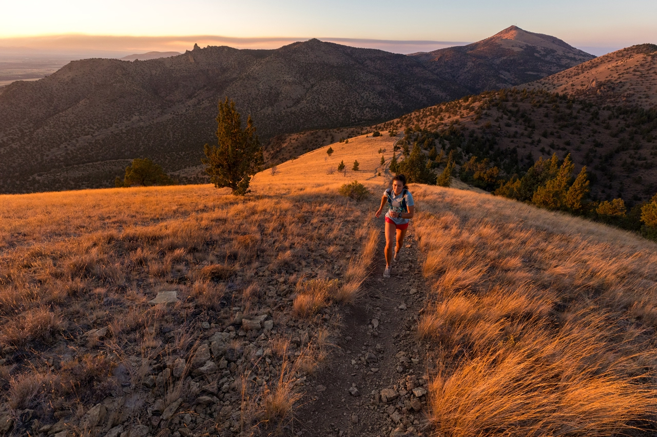

Central Oregon’s hiking trails showcase the region’s remarkable diversity, winding past cascading waterfalls, crystal-clear alpine lakes and ancient lava fields. From lush forest paths to rugged volcanic landscapes, these routes offer an unforgettable blend of natural beauty and adventure. Lace up your hiking boots, pack plenty of water, and set out to discover some of the Pacific Northwest’s most captivating terrain. This guide highlights some of the region’s best hikes for every skill level, helping you find the perfect path for your next outdoor adventure.
The Most Scenic Hikes in Central Oregon
Whether you’re a seasoned backpacker planning a multi-day wilderness trek or a casual explorer seeking a scenic stroll with rewarding mountain views, Central Oregon has a trail to match your pace.
Lava Cast Forest in Newberry Volcano National Monument
Drive about twenty minutes south of Bend and nine miles off the beaten path of Highway 97 to explore where forest fuses with lava. This one-mile paved loop winds through a Martian landscape strewn with jagged, melon-sized chunks of porous lava that flowed through these old-growth woodlands 7,000 years ago. During late spring and summer, the vibrant hues of red, purple, and yellow wildflowers pop against the backdrop of the black volcanic rock. A gentle 100-foot elevation gain and the path’s smooth surface make it a great trail for wheelchairs and strollers to access most of it (parts may be too steep or narrow). The back stretch reveals awesome views of the Cascades.
Difficulty: Easy
Distance: 1 mile round trip
Dogs: No leash law
Other: $5/vehicle/day recreation pass required May 1- September 30, but visitors have access to the entire national monument with purchase. Mountain bikes prohibited. Hike is short and close enough to get to most of the other sites within Newberry Volcano National Monument in one day.
Benham, Dillon, Lava Island Falls in Deschutes National Forest
Follow the Deschutes River Trail into the woods to hit three of Central Oregon’s most visited waterfalls in one journey. From Bend, head south on Highway 97 about eleven miles and turn right at the Lava Lands Visitor Center exit. Benham Falls is a quick half- mile walk from the trailhead. Continue on the trail and you’ll pass Dillon and Lava Island Falls. See the river in its many phases on this path, with vistas overlooking fierce rapids and calm flumes. Don’t forget to bring your camera on this expedition.
Difficulty: Easy/Moderate
Distance: .5 mile to Benham, additional 2.5 miles from Benham to Dillon, 8 miles from Benham to Lava Island
Dogs: Must be on leash May 15 – September 15
Other: $5 day pass required in all day-use parking areas within Deschutes National Forest
Green Lakes-Soda Creek Loop in Three Sisters Wilderness
Navigate through a forest dotted with creeks, waterfalls and wildflower-speckled meadows along one of the state’s most popular high alpine hiking trails. At the Green Lakes trailhead parking lot, start on the Soda Creek Trail or head out on the Green Lakes Trail—either way, you’re making the right decision. When you reach Green Lakes (taking Route B), you’ll be rewarded with front row views of Broken Top and the 10,358- foot, glacier-coated South Sister. It’s the perfect trail for a tough half-day jog or a weekend backpacking adventure. Camp at Green Lakes and head back, or use it as a basecamp for more hiking at higher elevations. Bring bug spray if you visit in the early summer and pack plenty of water or a purifier.
Difficulty: Moderate
Distance: 9 miles round trip (to the first lake and back)
Dogs: Must be on a leash July 15 – September 15
Other: Free wilderness permit required for both day and night use. $5 Recreation Pass required for parking May 1 – September 30. Snow covers the trail from early fall to late June. There is a 2000-foot elevation gain.
Tam McArthur Rim to Broken Top in Three Sisters Wilderness
Beginning at Three Creek Lake, seventeen miles south of Sisters, the pine-bordered trail eventually snakes up to the fringe of timberline at Tam McArthur Rim. From there, you’ll have unobstructed views of Broken Top towering above and the valley below. The main trail continues climbing toward the peak of Broken Top and Broken Hand, but we recommend keeping it simple and tackling this hike as an eight-mile out-and-back. When you return to the trailhead, dip your legs in the chilly Three Creek Lake to rejuvenate.
Difficulty: Moderate
Distance: 8 miles round trip
Dogs: Must be on a leash July 15 – September 15
Other: $5 day-pass required for parking. Snow-free from mid-summer to early fall. There is a 1,800-foot elevation gain.
Summit Trail at Smith Rock State Park
Ascend higher than the resident golden eagles on your way to the best vantage point in Smith Rock State Park. Host to more than half a million climbers every year, it’s tough to avoid crowds at Smith Rock, but the Summit Trail’s relative infancy (it opened in the Spring of 2013) makes this path a bit more secluded than other trails in the park. Along this fairly strenuous eight-mile looping trail, you’ll encounter stunning views of Monkey Face and the Crooked River meandering through the high desert grassland thousands of feet below. Consider approaching the hike counter-clockwise to knock out the incline along Burma Road early.
Difficulty: Difficult
Distance: 8 miles round trip
Dogs: Must be on a leash year-round
Other: $5 day-pass required for parking. There is a 1,200-foot elevation gain.
3 Easy Summer Day Hikes for Families
While there are endless trails to hike in Central Oregon in the summer, not all are great for kids. These shorter day hikes are perfect for families with small kids, making hiking less of a chore and more fun.

Tumalo Creek at the top of Skyliner Road
The beauty of Tumalo Creek is its proximity to town, its multiple cascades along the creek, the wildflower meadow at the top, and the fact that you can hike a little bit of the trail or a lot. Most visitors only reach Tumalo Falls, an eight- to nine-foot falls viewable from the parking lot. Set forth from the trailhead at the falls to view roughly eight smaller tiered falls and turn around when you’re tired.
Driving time: 30 minutes
Distance: Approximately 7-mile loop or turn around when tired
Parking: $5 day pass or NW Forest Pass at Tumalo Falls trailhead
Open: May to October
Six Lakes Trail to Doris Lake off Cascade Lakes Highway
Ditch the crowds at the popular hiking trails and head to the Six Lakes Trail, which offers access to six different lakes. Just past Elk Lake Resort, the trail to Doris Lake makes a nice day hike at less than six miles round trip. The trail also passes by Blow Lake one mile in and offers great views of Broken Top, South Sister and Mount Bachelor.
Driving time: 45 minutes
Distance: Approximately 6 miles round trip
Parking: $5 day pass or NW Forest Pass at Six Lakes Trailhead
Open: May to September
Canyon Creek Meadows in the Mount Jefferson Wilderness
This easy, spectacular hike features wildflowers and ends with Three Fingered Jack right over your head. Jack Lake Road off of Santiam Pass leads you to this 4.5-mile loop. This short hike is ideal for family, as it is one of the easiest routes into Central Oregon’s wildflower meadows. For a more strenuous climb, continue up the steep terrain to an ice-filled lake and a breathtaking viewpoint of Three Fingered Jack’s pinnacles.
Driving time: 1 hour 30 minutes
Distance: 4.5-mile easy loop, 7.5-mile moderate loop
Parking: $5 day pass or NW Forest Pass at the trailhead at Jack Lake
Open: Mid-July to October
Editor’s note: This story was originally published in June, 2018.