With warming temperatures, unpredictable weather patterns and changing snowpack in the Cascades, experts weigh in on what El Niño could mean for Central Oregon’s winter.
Inside a crevasse in Middle Sister’s Hayden Glacier, before winter’s arrival, Barry Wicks could hear water rushing through the ice around him, its massive walls creaking and groaning. He’d rappelled 50 feet through layers of snow and ice accumulated over thousands of years. “It felt like a very intimate experience to be that personal with the glacier,” said Wicks, a professional mountain biker working with Protect Our Winters (POW), a national nonprofit that mobilizes the outdoor sports community on climate issues.
The experience offered a visceral reminder that what falls from the sky during a Central Oregon winter doesn’t stay on the mountain. Snow stored in the Cascades becomes part of the region’s water supply, river systems and summer landscape. It drives year-round tourism and helps reduce summer wildfire risk.
After last winter—one of the warmest in Oregon’s recorded history, with the state’s worst snowpack on record. The question on everyone’s mind is: Will we see a repeat of low snow levels, or will the super El Niño expected to persist through the winter bring bountiful snow? The science is more complicated and useful than that, said State Climatologist Larry O’Neill. “We’re in uncharted territory as far as the impacts we might expect.”
How a Super El Niño Could Affect Central Oregon’s Winter Weather
If winter forecasting were a poker game, temperature would be the card to watch. It’s one of the first signs of what El Niño will mean for the area. By November, temperatures five degrees above normal can be enough to tip precipitation from snow to rain in the Cascades.
The phrase El Niño dates back to the 1600s, when South American fishermen noticed that cycles of warmer and colder water brought different fish. They named the warm phase, which would peak during winter, El Niño de Navidad, which translates to “The Christmas Child.” Over time, it was shortened to El Niño or “the boy,” and the cool phase was dubbed La Niña, “the girl.”
The El Niño climate pattern brings periodic warming of surface waters in the central and eastern tropical Pacific Ocean. Typically, trade winds push warm water westward toward Indonesia, but during El Niño, those winds weaken or reverse, allowing warm water to shift eastward toward the Americas. That can alter the jet stream, storm tracks and temperatures far beyond the Pacific—including here in Central Oregon.
A rule of thumb is that El Niño winters are warm and dry in Oregon and the Pacific Northwest. But strong or super El Niños can be different. Of the three very strong El Niños since 1980, all produced warm but wetter-than-normal conditions in Oregon, said O’Neill.
Last winter was a reminder that El Niño and La Niña are unpredictable. It was a weak La Niña, a pattern that has historically favored cooler, wetter conditions and better snow in Oregon. Instead, the state had its warmest winter on record and less-than-normal precipitation.
Warmer temperatures from climate change make predictions for this strong El Niño more difficult, but the bar for improvement over last winter is low. “We’ll probably also have less than average snow this year because it’s going to be so warm,” said O’Neill, “but that’s uncertain at this point.”

Will El Niño Bring More Snow to the Central Oregon Cascades?
Snowfall in the Central Oregon Cascades could be better because it is far enough east that El Niño is slightly weaker here. El Niño favors a wetter, and hopefully snowier winter, but definitely a wetter, warmer one, said O’Neill.
While that could help the region’s drought and rebuild some of our water supply, strong El Niños can bring more warm atmospheric rivers. Those can dump rain onto the snowpack, rapidly melting it and causing a sharp rise in river levels and potential flooding.
“Climate change doesn’t necessarily mean we’re going to get less precipitation here; it just means that it’s going to be different than what we used to have,” O’Neill said. “There’s definitely a glimmer of hope that this could be at least better than last year and that it [snowfall] might actually be decent.”
That guarded hope is echoed by at least one self-taught local forecaster with a devoted online following. Max Sheehan posts local forecasts on social media under the handle @weather.max. He has spent years teaching himself to read Central Oregon’s climate quirks and said the 1997-98 Super El Niño is the closest comparison he remembers. Sheehan was in Lake Tahoe at the time, when a major storm brought 3 feet of snow. He recalls being snowed in for two days. “And it was all attributed to the fact that there was a ton of moisture in the atmosphere,” said Sheehan. “So, here in Central Oregon, we are essentially on that northern edge of that moisture stream.” Another pattern that could shape the winter, he said, are freeze-thaw cycles. Daytime rain followed by overnight refreezing could mean more icy mornings than usual this winter—one reason overnight temperatures will be worth watching.
How to Track Snowfall and Winter Weather in Central Oregon
The daily average temperature in November on Santiam Pass is around 43 degrees, O’Neill said, so if temperatures climb about 5 degrees above normal, nighttime temperatures probably won’t dip below freezing. “If there’s any snow at that time, it’ll probably melt,” he said. “That is the first thing to look at.” Sheehan offered advice for tracking winter weather at home. Keep an eye on overnight lows; a stretch of nights consistently dipping into the mid-to-upper 20s signals a cold air mass has settled over the region, which could turn incoming moisture into snow rather than rain. Pair that with a glance at California’s forecast. If rain is moving into California while cold air sits over Central Oregon, there’s a better chance some of that moisture gets pulled north. When those ingredients arrive together, Central Oregon’s chances for snow improve. Conditions could start looking good for heading to the mountains.
El Niño can’t tell Central Oregonians whether to wax the skis, get out the ice axe or brace for rain. It shifts the odds; it doesn’t write the forecast. The useful way to think about El Niño this winter is to watch for clues—and then watch what comes over the Cascades.
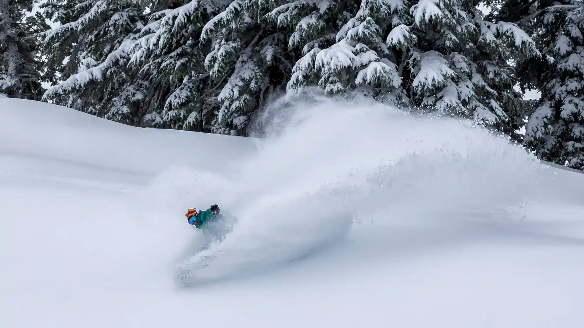
What does a Super El Niño forecast actually tell us about snowfall at Mt. Bachelor?
- 3 winters widely characterized as very strong or “super” El Niños (1982/83, 1997/98, and 2015/16) brought an average of 427 inches of snow to Mt. Bachelor.
- 1982/83 was the snowiest of the three, and delivered 536 inches.
- The El Niño seasons averaged 355 inches of snowfall.
- The snowiest and least snowy seasons both occurred during La Niña conditions: a record 665 inches in 2010/11 compared to just 206 inches in 2025/26.
This proves that individual winters with the same designation can vary a lot. Nobody knows for sure what this winter will bring. Maybe we’ll get a little bit of everything.”
—Presley Quon, Mt. Bachelor Communications & Community Relations Manager
Mtbachelor.com | Check the weather at the National Weather Service