

With balmy temperatures, fewer summer crowds and miles of forest singletrack framed by changing fall colors, autumn is an ideal time to explore Bend’s trail network by bike. Central Oregon cyclists have more miles to explore this fall thanks to the Central Oregon Trail Alliance (COTA), the nonprofit that builds and maintains mountain biking trails across the region.
Following a December 2025 U.S. Forest Service decision, Class 1 pedal-assist e-bikes are now permitted on roughly 161 miles of selected trails in the Deschutes National Forest, including portions of the Phil’s, Wanoga, Sunriver and Peterson Ridge trail systems. Other trails remain off-limits to e-bikes.
As cyclists adjust to the new rules, COTA encourages everyone to lead with patience and trail courtesy. “Having proper riding etiquette, knowing where you can now legally ride Class 1 e-bikes and being kind are the most important things,” said COTA Executive Director Casey Andrews.
Before heading out, check current COTA or Forest Service information for seasonal and temporary closures.
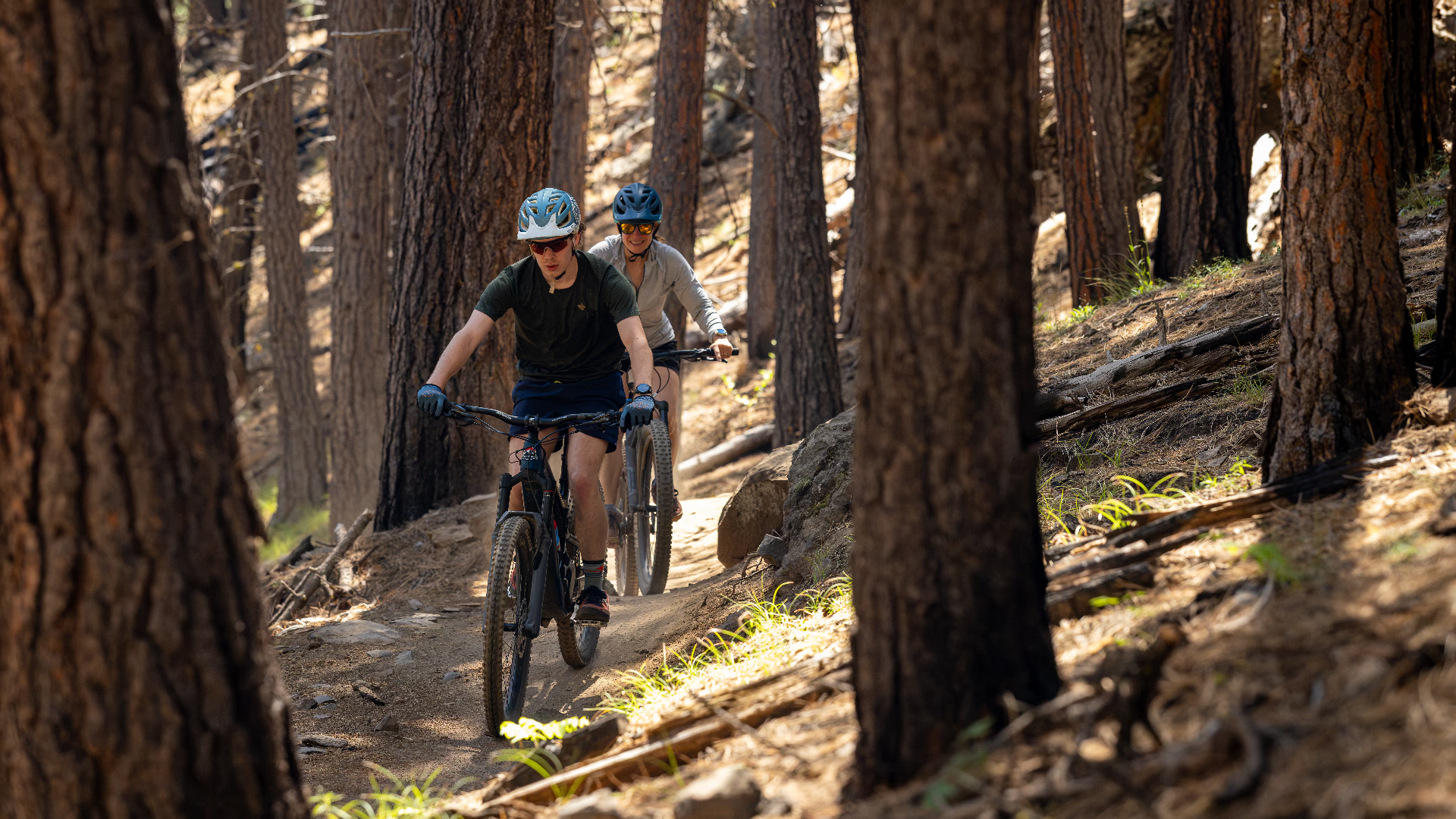
The Best E-Bike Friendly Trails
Upper and Lower Storm King
Storm King connects the Phil’s and Wanoga trail systems and crosses Cascade Lakes Highway near Green Gate. It’s a versatile trail that works just as well as a steady climb as it does as part of a longer descent from Wanoga via Funner or Tiddlywinks.
Storm King’s appeal comes from its variety. Upper Storm King winds through the forest on well-graded singletrack, while Lower Storm King rewards downhill riders with a fast, twisty finish. Climbers get a relatively manageable grade, making the trail a useful — and fun — connection between some of Bend’s most popular riding areas.
Trail mileage: 9 miles total
Upper Storm King: 5.4 miles
Lower Storm King: 3.6
Pinedrops
Pinedrops is the kind of trail that proves a climb doesn’t have to feel like a chore. The roughly 2-mile stretch winds gradually uphill through the forest on approachable singletrack, with enough turns and short steeper sections to keep the ride interesting without turning it into a grind.
COTA put significant work into Pinedrops this year, improving the trail as part of a larger effort to separate climbing traffic from the faster downhill action around Whoops. The result gives riders a more comfortable way to gain elevation while setting themselves up for another lap through the Phil’s network.
Trail mileage: 2 miles
Royal Flush
Short, fast and built for play, Royal Flush packs a lot into 1.3 miles. A large Trail Love event hosted by COTA in spring 2026 focused on maintenance to get the trail primed for the riding season.
The downhill-only trail strings together tabletops, banked turns and other features in quick succession, making it a good choice for riders who want more action without committing to a long descent. The machine-built flow and steep berms encourage riders to carry momentum from one feature into the next. Be aware of low spots, which can retain snow or rainwater in colder, wetter weather.
Trail mileage: 1.3 miles
Voodoo Child
Voodoo Child offers a mellower change of pace in the Phil’s network. With relatively little elevation change, the 0.8-mile trail is a good choice for riders looking for a casual cruise or an easy connection between more demanding trails.
Its appeal is in the flow rather than big technical features: riders can keep moving without the sustained climbing or descending found elsewhere in the network. Thanks to COTA’s roughly 700-foot expansion in 2025, riders can also connect Phil’s Trailhead and Voodoo without using Forest Road 4610.
Trail mileage: 0.8 miles
Phil’s to Shevlin
The connection between Phil’s and Shevlin opens up opportunities for riders who want to turn a familiar Phil’s-area outing into a longer adventure. The connector links Phil’s Trailhead, Shevlin Park and Lower Mrazek while supporting the retirement of unauthorized routes that fragment wildlife habitat and disturb natural and cultural resources.
The payoff is variety: riders can move from the classic forested singletrack around Phil’s toward Shevlin and, for riders on traditional mountain bikes, continue onto the flowing terrain of Lower Mrazek. Lower Mrazek is fun in both directions, with climbing singletrack on the way up and stretches of fast, flowing trail on the return.
If you continue onto Mrazek Trail, however, leave the e-bike behind: e-bikes are not allowed.
Trail mileage:
Shevlin: 2.5 miles
Phil’s: 7.6 miles
Lower Mrazek: 7.5 miles

Acoustic Bike Only Trails
Wanoga Downhill Trail
Wanoga continues to evolve into a mountain biking hub west of Bend, with something for riders at very different stages of the sport. Families and newer riders can start with the pump track at Wanoga Sno-Park, while more experienced riders can head toward the downhill trails for steeper terrain and more technical challenges.
One of Wanoga’s biggest advantages is connectivity. Riders looking to extend the outing can link into Tiddlywinks and Funner for a longer ride, combining purpose-built downhill riding with some of the Wanoga network’s best-known singletrack.
Trail mileage: 5.5 miles
Cline Butte and Cascade View
The new trails at Cline Butte and Cascade View give riders more reasons to explore beyond Bend’s west-side trail network. Developed in partnership with the Bureau of Land Management, the project added trails while rerouting unofficial user-created routes away from private property and sensitive golden eagle habitat.
But the conservation work also produced more riding variety. COTA’s completed additions include trails such as Chainbreak, Positive Vibrations, Legal Eagle and CrossFire at Cline Butte and Whiptail, Rattler, Bull Snake and Hummingbird at Cascade View. Together, the additions create more options for putting together different rides instead of following a single established route through the area.
Trail mileage: 11.5 miles total
Cline Butte: 6 miles
Cascade View: 5.5 miles
Pine Drops Extension
Also known as the Uphill Whoops Route, this uphill-only connector is designed to make one of the busiest parts of the Phil’s network work better for everyone. Instead of climbing the same trail other riders want to descend, riders get a dedicated route uphill toward Pinedrops and Whoops.
That separation is the real appeal: climbers can settle into their pace while downhill riders get more freedom to enjoy the flow and features of Whoops. The extension also improves connections within the larger Phil’s network, making it easier to string together laps without relying as heavily on forest roads.
Trail mileage: 3 miles
Ridge Loop
Ridge Loop brings riders into the higher-elevation terrain around Swampy Lakes Sno-Park, offering a noticeably different experience from the lower, drier trails closer to Bend. The forested setting and roughly 580 feet of climbing give the trail more of a backcountry feel while still connecting into the larger Swampy trail network.
Its biggest strength is connectivity. Ridge Loop gives riders another way to build longer loops through the Swampy area rather than simply riding an out-and-back, making it particularly useful for riders who like piecing together bigger high-country days.
Trail mileage: About 2.5 miles
Yeti Winter Fat Bike Trail
Yeti adds something different to the mix: a trail created specifically to expand winter fat-biking opportunities. Located southwest of Kiwa Butte, the route adds approximately 5 miles of riding designed to offer more varied terrain and challenge than existing winter options.
That makes Yeti less about simply keeping the bike rolling through winter and more about providing an actual trail-riding experience on snow. Its terrain and location give fat-bike riders another option for exploring the forest when many of Central Oregon’s traditional mountain bike trails are buried for the season.
Trail mileage: Approximately 5 miles